The Northern Corridor Transport Network
The Northern Corridor is a Key transport route in East and Central Africa. Its transport network consists of modes of surface transport route linking the landlocked Countries to the Port of Mombasa. These surface modes include road, rail, pipeline and inland waterways.
With the launch of the Mombasa Port and Northern Corridor Community Charter, key stakeholders are committed to modernising the primary transport infrastructure of the port and corridor at large to facilitate trade in the region. The existing infrastructure along the Northern Corridor consists of physical transport infrastructure that is crucial for trade facilitation and provides logistics services that reduce the trade costs; as well as soft infrastructure to facilitate faster clearance and processing of goods.
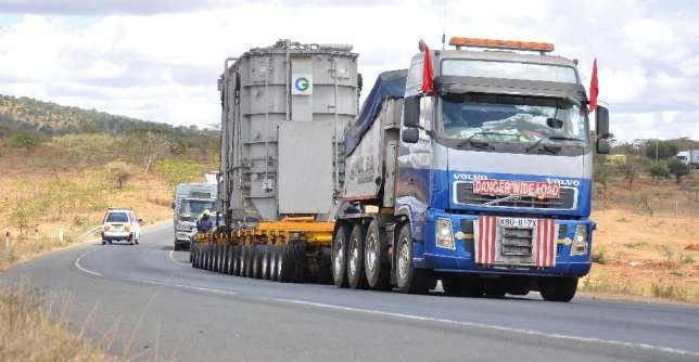
Among the physical transport infrastructure are the Maritime Port of Mombasa, Road Network, Weighbridges, Borders & One Stop Border Points (OSBPs), Railway, Oil Pipeline, Inland Waterways and Inland Container Depots (ICDs).
Alternative routes
An alternative transport network serving the landlocked Great lakes region is through Tanzania, in the Central Corridor. The 1,400 km-long corridor uses lake transport on the Lake Tanganyika to Kigoma in Tanzania, and then road or rail to Dar-Es-Salaam.
Another option is the Deep South route, through Zambia, Zimbabwe and South Africa. This corridor uses lake transport on the Lake Tanganyika to Mpulungu in Zambia, and then road transport, or a mix of rail and road transport, to Durban in South Africa. This option is too far from the Great Lakes countries